

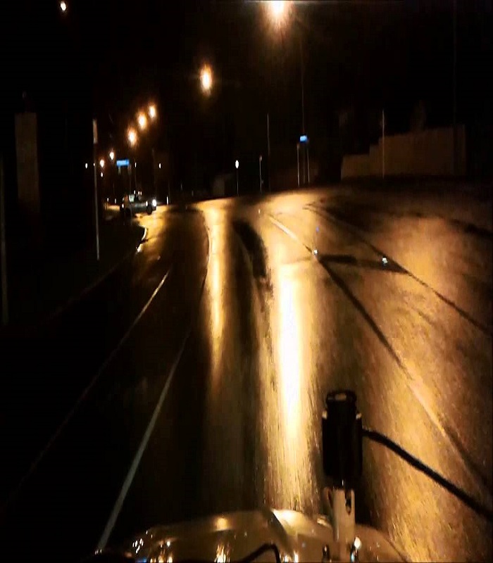
Lux Mapping
Service to measure the intensity of light by using a lighting detector placed above the vehicle at a height of 1.5 meters, and it is connected to a laptop, in addition to a GPS device. The data is presented in the form of a table in addition to graphs.
ACTUAL SOLUTION
PRO SUPPROT
EXPERT TEAM
LOW COST
FIRST DELIVERY
EASY PAYMENTS
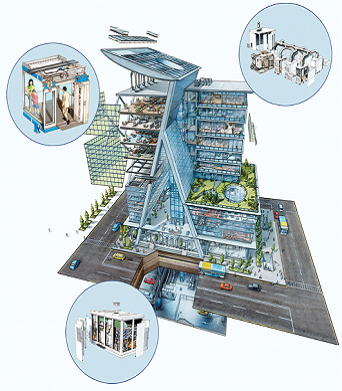
Our Core Services
The lux mapping system provides an additional dimension to asset management. It is a practical and easy to understand system designed to help with analysis of a wide range of in-field lighting issues including assessment of lighting service levels.
Step 1 – Data Collection
• Scope of work confirmed with asset owner
• Create list of road
• Lux Vs GPS data collection
Step 2 – Data Processing
• Define processing parameters
• Implementation of road lighting categories
• Selection of presentation formats
• Implementation of road lighting categories
• Selection of presentation formats
Step 3 – Lighting Service Assessment
• Reporting on individual service levels
• Mapping of result
• Survey summary reports
• Mapping of result
• Survey summary reports
OR Call now +966-13-803-4044
Our Other Services
We cover the entire services before and after the implementation of LED street lights, starting from the road inspection, pole counting and arrangement.
In addition to those, we provide detailed study to classify the streets based on ISO standards.
Furthermore, we provide a unique solution to measure the lux level for the streets which is known as Lux Mapping.

Energy data review and audits for Industrial Plants

Energy measurement and verification
Energy Efficiency design review for Industrial Plants